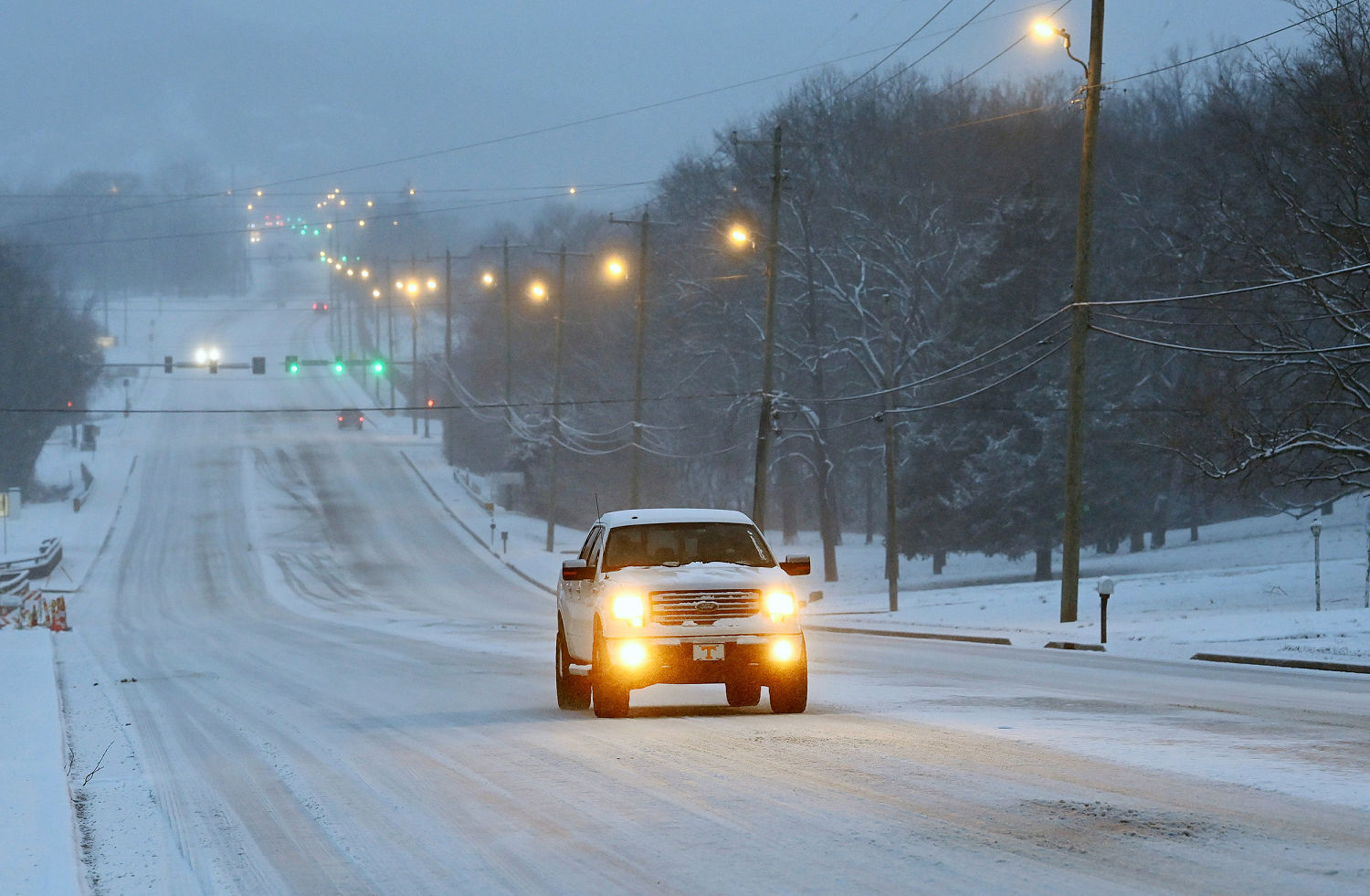
Millions of people are under winter alerts ahead of a major storm expected to dump snow across portions of the country including Tennessee, Virginia, Mississippi and Kentucky.
Due to the forecasted storm and the threat of hazardous travel conditions, Tennessee Gov. Bill Lee closed state offices on Wednesday. In a Tuesday night post on X, the National Weather Service in Nashville said roads were already covered in many areas.
In Mississippi, a very cold airmass will cross the region. The National Weather Service in Jackson said the airmass will prevent temperatures from rising during the day, bringing them down into the teens and low 20s Thursday morning.
“Meanwhile wind chills will fall to the single digits in most areas. Be sure to take appropriate precautions,” the agency said in a post on X Wednesday morning.
The state’s Department of Transportation said 19 counties have already reported ice on roadways and bridges and urged drivers to use extreme caution.
The winter weather triggered alerts for 44 million people from the Mississippi River Valley to the Atlantic Coast. The heaviest snow will fall through Wednesday evening across southeastern Virginia, where the region could see its snowiest day in 15 years.
Virginia Gov. Glenn Youngkin said at a Tuesday news conference that a state of emergency initially declared on Feb. 10 remains in place.
“We are still under a state of emergency,” he said. “I cannot be more clear. We declared this, now, 10 days ago, but I need everybody to understand that the state of emergency continues, and if there wasn’t one that had already been declared, I would be declaring one today.”
Virginia Beach and the Norfolk area could see 6 to 10 inches of snowfall through Wednesday night, while Richmond could be hit with 3 to 6 inches.
Snow and dangerously cold temperatures have already set in across Kentucky, where more than a dozen people have died from weekend winter storms.
“If the snow wasn’t tough enough, it’s cold right now. It’s going to get dangerously cold tonight and into tomorrow,” Gov. Andy Beshear said at a Wednesday morning news conference. “And then Friday’s going to be really cold, too.”
The governor said one of the biggest challenges is that some of the hardest hit areas from this week’s floods “can get another three to four inches tonight.”
Another area to watch will be eastern North Carolina, where impactful ice amounts of up to .25 inches could cause power outages and tree damage. Raleigh is expected to see about 2 inches of snow. A state of emergency was declared Tuesday.
As the winter storm moves out, cold surges will settle in for the southern Plains and Gulf Coast. Over the weekend, a rapid warm-up will occur where cities will see a temperature increase of 50 to 60 degrees.
Source link