Santa Ana winds will hit the Los Angeles area yet again this week, bringing extreme risk of rapid fire spread as the region continues to tamp out deadly wildfires that ignited under similar conditions earlier this month.
The highest red flag warning — a particularly dangerous situation alert — is in place Monday at noon local time (3 p.m. ET) to Tuesday 10 a.m. (1 p.m. ET) for a large portion of Ventura and Los Angeles counties.
A particularly dangerous situation warning is rarely used and warns of extreme danger of fire spread due to dry conditions and low humidity. This marks the fifth one issued in just three months since November. The National Weather Service typically only issues a PDS red flag warning once every four years. Prior to the November 2024 issuance, the last one was in 2020.
The event is forecast to bring peak wind gusts of 50 to 70 mph in the coasts and valleys and gusts of 60 to 100 mph in the mountains and foothills.
The area of most concern stretches from Ventura County to down to Malibu on the west coast to across the San Fernando Valley to Big Pines and Pomona to the east.
Very strong Santa Ana winds — dry, warm and gusty winds that blow from the interior of Southern California toward the coast — will develop Monday and continue through at least Tuesday. At the same time, humidity levels will “drastically lower to the single digits,” the National Weather Service office of Los Angeles warned.
The winds, low humidity, and extremely dry vegetation will create “extremely critical fire-weather conditions” and rapid fire spread if any blazes ignite.
A red flag warning is in effect due to strong Santa Ana winds and low humidities for all other times from 8 a.m. Monday though 10 p.m. Tuesday in the same areas.
The warnings cover the Santa Clarita Valley, Ventura County’s beaches, inland coast, central valleys; the Malibu coast, western Santa Monica mountains, Calabasas and Agoura Hills, San Fernando valleys, the Santa Susana mountains, and the San Gabriel mountains and valley.
A fire weather watch remains in effect from Tuesday evening through Thursday evening for the gusty Santa Ana winds and very low relative humidity for a large swathe of Los Angeles and Ventura counties.
The weather service encouraged locals to prepare an evacuation plan, pack essentials in an emergency go bag, charge necessary electronic and lighting devices, fill up gas tanks of cars and generators, and secure any loose outdoor items.
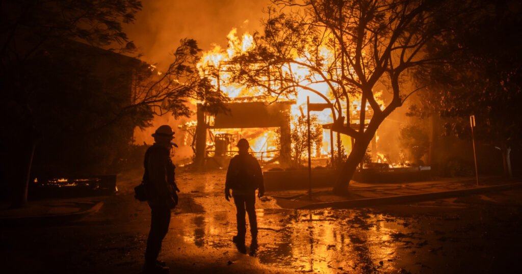
The wind gusts of this event are forecast to be less than the winds that battered the region earlier this month that led to the spark of the Palisades Fire and the Eaton Fire on Jan. 7.
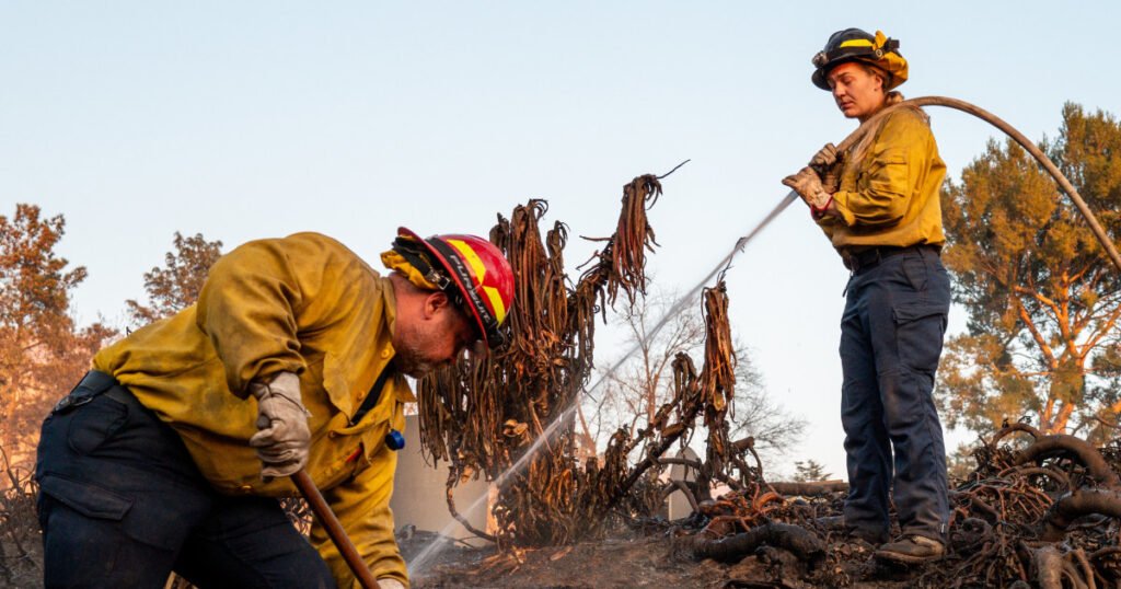
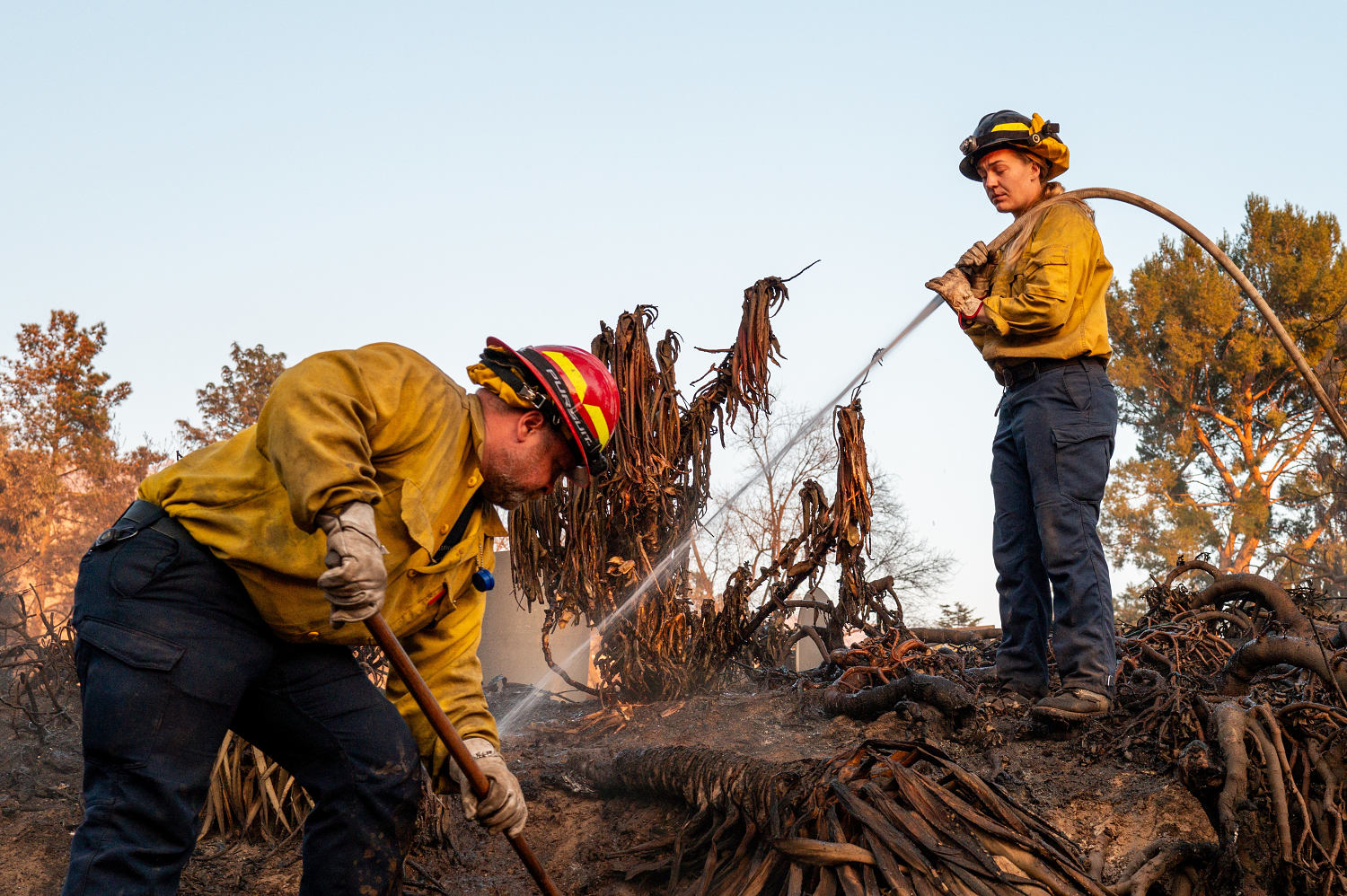
The Palisades Fire spans 23,713 acres, destroyed over 12,000 structures, and is 56% contained as of Monday.
Meanwhile to the east, the Eaton Fire has razed 14,021 acres, destroyed over 9,000 structures in the Eaton Canyon, Pasadena and Altadena, and is 81% contained as of Monday morning.
The fires killed at least 27 people, triggered mass evacuations, blanketed the Los Angeles area in smoky smog and poor air quality, and sparked criticism over government preparedness.
On Sunday, Gov. Gavin Newsom announced he was mobilizing and prepositioning more than 130 fire engines, water tenders and aircraft to Southern California due to the weather alert.
“The recent firestorms in Los Angeles have illustrated the importance of being in the right place at the right time. By strategically placing specialized personnel and equipment in areas prone to wildfires, crews are able to respond faster and more aggressively. These conditions are dangerous, so it’s incumbent upon all families to stay vigilant,” Newsom said in a statement.
While thousands of personnel and equipment are still responding to fires in the Los Angeles area, the state is surging addition resources, the governor’s office said.
Source link